Geolocate

Waves topographic map

Click on the map to display elevation.

About this map

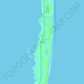
Name: Waves topographic map, elevation, terrain.

Location: Waves, Dare County, North Carolina, 27982, United States (35.54684 -75.48839 35.58684 -75.44839)

Average elevation: 3 ft

Minimum elevation: -3 ft

Maximum elevation: 23 ft

Dare County trails, hiking, mountain biking, running and outdoor activities

Other topographic maps

Click on a map to view its topography, its elevation and its terrain.

Manteo

United States > North Carolina > Dare County

Average elevation: 7 ft

Kitty Hawk

United States > North Carolina > Dare County

Kitty Hawk is located at 36°06′N 75°42′W / 36.1°N 75.7°W / 36.1; -75.7 at an elevation of 7 feet (2 m) above sea level.

Average elevation: 7 ft

Gear up for your next adventure:

🗃️Trail First Aid Kit - Essential kit for outdoor injuries and emergencies
🧭Map Reading Tools - Tools and kits for map navigation
Backpacking Tents - Weight-optimized shelters for multi-day topographic surveys
🦶Carbon Trekking Poles - Reduce knee impact on steep descents with ultra-light poles
🥤Water Filter Bottle - All‑in‑one filter bottle for safe hydration

As an Amazon Associate, this site earns from qualifying purchases at no extra cost to you.