Geolocate

Cellamare topographic map

Click on the map to display elevation.

👉 Easily get elevation data in JSON, GeoTIFF and KML formats using Elevation API
Thank you for supporting this site ❤️
Make a donation

About this map

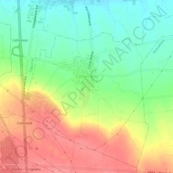
Name: Cellamare topographic map, elevation, terrain.

Location: Cellamare, Bari, Apulia, Italy (41.00210 16.91265 41.03259 16.95582)

Average elevation: 397 ft

Minimum elevation: 282 ft

Maximum elevation: 522 ft

Gear up for your next adventure:

🔪Outdoor Multitools - Essential survival tools for gear repair and field use
Solar GPS Watches - Advanced multisport watches with built-in topographic maps
📖Nature Tracking Books - Learn to track wildlife and terrain
📻Weather Alert Radios - Stay informed of storm risks while off-the-grid
🎒Outdoor Daypacks - Lightweight backpacks designed for carrying maps and essential gear

As an Amazon Associate, this site earns from qualifying purchases at no extra cost to you.