
Thank you for supporting this site ❤️
Make a donation
Make a donation
Gear up for your next adventure:
As an Amazon Associate, this site earns from qualifying purchases at no extra cost to you.
Boncelles topographic map
Click on the map to display elevation.
Thank you for supporting this site ❤️
Make a donation
Make a donation
Gear up for your next adventure:
As an Amazon Associate, this site earns from qualifying purchases at no extra cost to you.
About this map
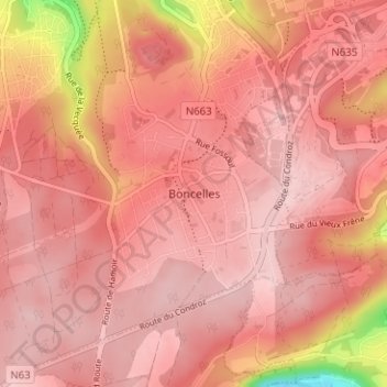
Name: Boncelles topographic map, elevation, terrain.
Location: Boncelles, Seraing, Liège, Wallonia, 4100, Belgium (50.55028 5.51785 50.59028 5.55785)
Average elevation: 768 ft
Minimum elevation: 259 ft
Maximum elevation: 902 ft
Thank you for supporting this site ❤️
Make a donation
Make a donation
Gear up for your next adventure:
As an Amazon Associate, this site earns from qualifying purchases at no extra cost to you.