
Thank you for supporting this site ❤️
Make a donation
Make a donation
Gear up for your next adventure:
As an Amazon Associate, this site earns from qualifying purchases at no extra cost to you.
Hillat Wad Saqqa topographic map
Click on the map to display elevation.
Thank you for supporting this site ❤️
Make a donation
Make a donation
Gear up for your next adventure:
As an Amazon Associate, this site earns from qualifying purchases at no extra cost to you.
About this map
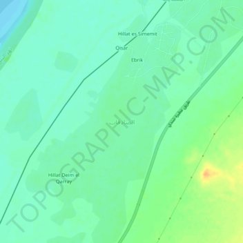
Name: Hillat Wad Saqqa topographic map, elevation, terrain.
Location: Hillat Wad Saqqa, Shendi, River Nile State, Sudan (16.79860 33.63810 16.83860 33.67810)
Average elevation: 1,191 ft
Minimum elevation: 1,155 ft
Maximum elevation: 1,257 ft
Thank you for supporting this site ❤️
Make a donation
Make a donation
Gear up for your next adventure:
As an Amazon Associate, this site earns from qualifying purchases at no extra cost to you.