
Capetown topographic map
Interactive map
Click on the map to display elevation.
About this map
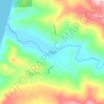
Name: Capetown topographic map, elevation, terrain.
Location: Capetown, Humboldt County, California, United States (40.44624 -124.38728 40.48624 -124.34728)
Average elevation: 535 ft
Minimum elevation: 0 ft
Maximum elevation: 1,421 ft
Humboldt County trails, hiking, mountain biking, running and outdoor activities