
五台县 topographic map
Interactive map
Click on the map to display elevation.
About this map
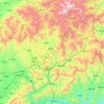
Name: 五台县 topographic map, elevation, terrain.
Location: 五台县, Xinzhou, Shanxi, Chine (38.46839 112.95570 39.08067 113.84916)
Average elevation: 4,446 ft
Minimum elevation: 1,155 ft
Maximum elevation: 10,039 ft
Other topographic maps
Click on a map to view its topography, its elevation and its terrain.