Geolocate

Sector 83 topographic map

Click on the map to display elevation.

About this map

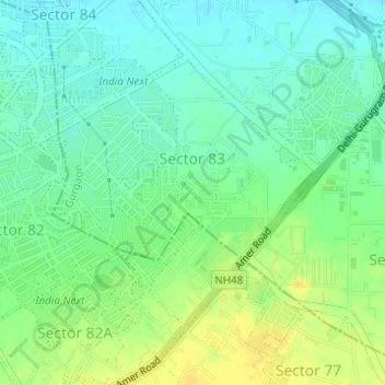
Name: Sector 83 topographic map, elevation, terrain.

Location: Sector 83, Gurgaon, Gurugram, Haryana, India (28.38622 76.96086 28.40513 76.98252)

Average elevation: 768 ft

Minimum elevation: 735 ft

Maximum elevation: 810 ft

Other topographic maps

Click on a map to view its topography, its elevation and its terrain.

Badshahpur

India > Haryana > Gurgaon

Average elevation: 748 ft

Damdama Lake

India > Haryana > Gurgaon

Average elevation: 794 ft

Gear up for your next adventure:

🪶Survival Guide Book - Expert advice for emergency preparedness
🔋Rechargeable Batteries - Power up your outdoor devices
😴Insulated Sleeping Pads - Compact and warm pads for high-elevation camping
📶Satellite Messenger - Communication device off‑grid
🚑Emergency Bivvies - Heat-reflective sleeping bags for survival situations

As an Amazon Associate, this site earns from qualifying purchases at no extra cost to you.