Geolocate

Faust topographic map

Click on the map to display elevation.

About this map

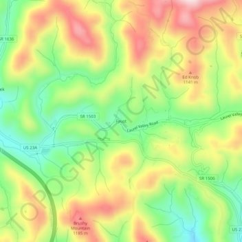
Name: Faust topographic map, elevation, terrain.

Location: Faust, Madison County, North Carolina, United States (35.89122 -82.55014 35.93122 -82.51014)

Average elevation: 3,412 ft

Minimum elevation: 2,828 ft

Maximum elevation: 4,078 ft

Madison County trails, hiking, mountain biking, running and outdoor activities

Gear up for your next adventure:

🗺️NatGeo Topo Maps - High-quality waterproof printed topographic maps of US Parks
📦Dry Bags Set - Waterproof storage for electronics and clothes
🛰️Handheld GPS Units - Professional satellite navigators for precise backcountry mapping
❄️Traction Cleats - Prevent slips on icy trails during winter hikes
🪵Folding Camp Saw - Compact saw for wood and campsite work

As an Amazon Associate, this site earns from qualifying purchases at no extra cost to you.