Geolocate

Goce Delcev topographic map

Click on the map to display elevation.

About this map

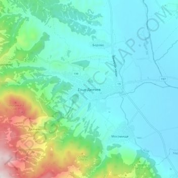
Name: Goce Delcev topographic map, elevation, terrain.

Location: Goce Delcev, Gotse Delchev, Blagoevgrad, 2900, Bulgaria (41.53330 23.68811 41.61330 23.76811)

Average elevation: 2,313 ft

Minimum elevation: 1,591 ft

Maximum elevation: 5,131 ft

Other topographic maps

Click on a map to view its topography, its elevation and its terrain.

Рупите

Bulgaria > Blagoevgrad

Average elevation: 384 ft

Тевно езеро

Bulgaria > Blagoevgrad

Average elevation: 7,969 ft

Frog lake

Bulgaria > Blagoevgrad

Average elevation: 7,907 ft

Gear up for your next adventure:

🎒Outdoor Daypacks - Lightweight backpacks designed for carrying maps and essential gear
🔌USB Car Charger - Car charger for on‑the‑go power needs
📶Vehicle Signal Boosters - Improve reception in rural areas while driving to trailheads
🥾Men's Hiking Boots - Durable, waterproof footwear for rugged terrain and steep inclines
🕶️Glacier Sunglasses - Side shields to protect eyes from high-altitude snow glare

As an Amazon Associate, this site earns from qualifying purchases at no extra cost to you.