
Bostic topographic map
Click on the map to display elevation.
About this map
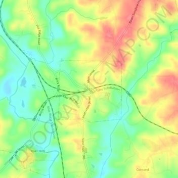
Name: Bostic topographic map, elevation, terrain.
Location: Bostic, Rutherford County, North Carolina, United States (35.34262 -81.85566 35.38262 -81.81566)
Average elevation: 906 ft
Minimum elevation: 787 ft
Maximum elevation: 1,040 ft
Rutherford County trails, hiking, mountain biking, running and outdoor activities