Geolocate

Sullivan topographic map

Click on the map to display elevation.

About this map

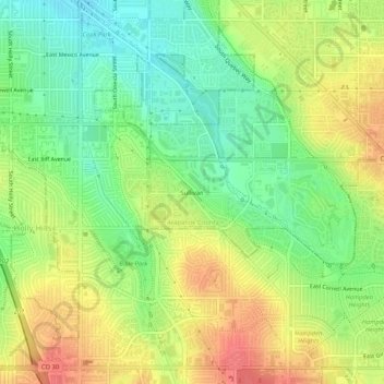
Name: Sullivan topographic map, elevation, terrain.

Location: Sullivan, Arapahoe County, Colorado, 80231, United States (39.65134 -104.91774 39.69134 -104.87774)

Average elevation: 5,486 ft

Minimum elevation: 5,390 ft

Maximum elevation: 5,591 ft

Arapahoe County trails, hiking, mountain biking, running and outdoor activities

Gear up for your next adventure:

🦺Reflective Outdoor Gear - Safety gear for low‑light conditions
🧢Outdoor Hiking Hat - Sun protection hat for outdoor explorers
📶Satellite Messenger - Communication device off‑grid
🏫Relief Map Kits - Hands-on tools for teaching landforms and elevation
🗺️NatGeo Topo Maps - High-quality waterproof printed topographic maps of US Parks

As an Amazon Associate, this site earns from qualifying purchases at no extra cost to you.