
Parsons topographic map
Click on the map to display elevation.
About this map
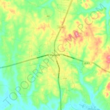
Name: Parsons topographic map, elevation, terrain.
Location: Parsons, Decatur County, Tennessee, 38363, United States (35.60979 -88.16670 35.68979 -88.08670)
Average elevation: 472 ft
Minimum elevation: 351 ft
Maximum elevation: 653 ft
Decatur County trails, hiking, mountain biking, running and outdoor activities