Geolocate

Darnius topographic map

Click on the map to display elevation.

About this map

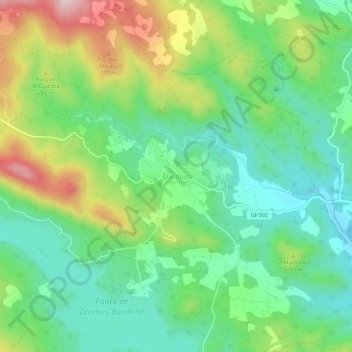
Name: Darnius topographic map, elevation, terrain.

Location: Darnius, Upper Empordà, Girona, Catalonia, 17722, Spain (42.34654 2.81374 42.38654 2.85374)

Average elevation: 682 ft

Minimum elevation: 338 ft

Maximum elevation: 1,339 ft

Gear up for your next adventure:

🪶Camping Sleeping Pad - Comfortable sleeping pad for backpacking
🏕️Tent Footprint - Protect your tent base from wear
📦Gear Storage Bags - Organize and protect outdoor equipment
🧺Microfiber Travel Towels - Compact and fast-drying towels for trail use
🥩Freeze-Dried Meals - Nutritious and lightweight food for remote expeditions

As an Amazon Associate, this site earns from qualifying purchases at no extra cost to you.