Geolocate

Balvraid topographic map

Click on the map to display elevation.

About this map

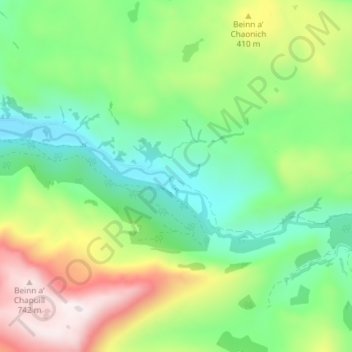
Name: Balvraid topographic map, elevation, terrain.

Location: Balvraid, Highland, Scotland, IV40 8JX, United Kingdom (57.16889 -5.58392 57.20889 -5.54392)

Average elevation: 906 ft

Minimum elevation: 69 ft

Maximum elevation: 2,470 ft

Gear up for your next adventure:

🧭Map Reading Tools - Tools and kits for map navigation
🪑Portable Camp Table - Compact table for campsite meals
📶Satellite Messenger - Communication device off‑grid
🦟Ultrasonic Repellers - Create a bug-free zone at your camp or rest stop
📚USA Hiking Guide Books - Top trail guides and map books

As an Amazon Associate, this site earns from qualifying purchases at no extra cost to you.