Geolocate

Rothaurach topographic map

Click on the map to display elevation.

About this map

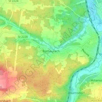
Name: Rothaurach topographic map, elevation, terrain.

Location: Rothaurach, Roth, Landkreis Roth, Bayern, 91186, Deutschland (49.21945 11.03431 49.25945 11.07431)

Average elevation: 1,198 ft

Minimum elevation: 1,063 ft

Maximum elevation: 1,381 ft

Gear up for your next adventure:

🩹Survival Bandages - High‑quality bandages for emergencies
🥾Women's Hiking Boots - Top-rated trail boots with ankle support and superior grip
🏔️Mountain Trail Maps - High‑detail maps for popular peaks
🔪Outdoor Multitools - Essential survival tools for gear repair and field use
📶Vehicle Signal Boosters - Improve reception in rural areas while driving to trailheads

As an Amazon Associate, this site earns from qualifying purchases at no extra cost to you.