
Noti topographic map
Click on the map to display elevation.
About this map
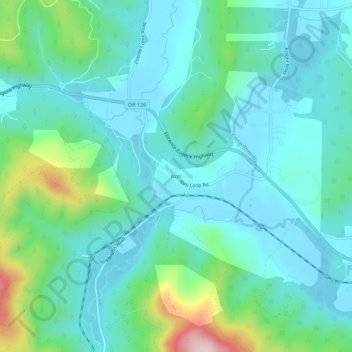
Name: Noti topographic map, elevation, terrain.
Location: Noti, Lane County, Oregon, 97461, United States (44.03916 -123.46981 44.07916 -123.42981)
Average elevation: 659 ft
Minimum elevation: 390 ft
Maximum elevation: 1,729 ft
Lane County trails, hiking, mountain biking, running and outdoor activities