Geolocate

Bark Ranch topographic map

Click on the map to display elevation.

About this map

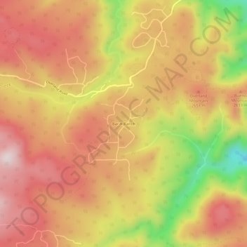
Name: Bark Ranch topographic map, elevation, terrain.

Location: Bark Ranch, Boulder County, Colorado, United States (40.09749 -105.45944 40.13749 -105.41944)

Average elevation: 8,484 ft

Minimum elevation: 7,549 ft

Maximum elevation: 9,052 ft

Gear up for your next adventure:

🧦Hiking Socks - Comfortable socks to prevent blisters on long hikes
🎒Hydration Pack - Hands‑free water reservoir for long hikes
👟Men's Trail Runners - Lightweight footwear for fast-paced exploration and light hiking
🪶Fire Starter Kit - Reliable fire starter for survival and camping
📡Handheld GPS Device - Reliable handheld GPS for outdoor navigation

As an Amazon Associate, this site earns from qualifying purchases at no extra cost to you.