
Boimorto topographic map
Interactive map
Click on the map to display elevation.
About this map
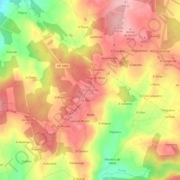
Name: Boimorto topographic map, elevation, terrain.
Location: Boimorto, Arzúa, A Coruña, Galicië, 15816, Spanje (42.98744 -8.14692 43.02744 -8.10692)
Average elevation: 1,444 ft
Minimum elevation: 1,096 ft
Maximum elevation: 1,663 ft
Other topographic maps
Click on a map to view its topography, its elevation and its terrain.