
Toande topographic map
Interactive map
Click on the map to display elevation.
About this map
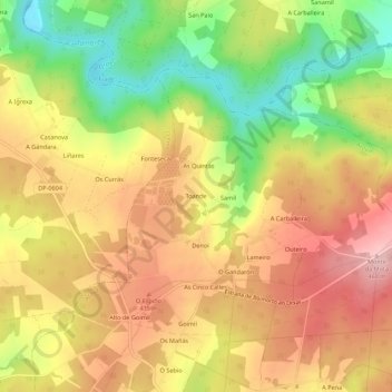
Name: Toande topographic map, elevation, terrain.
Location: Toande, Campo, Arzúa, A Coruña, Galicië, 15810, Spanje (42.97173 -8.25126 43.01173 -8.21126)
Average elevation: 1,253 ft
Minimum elevation: 896 ft
Maximum elevation: 1,539 ft
Other topographic maps
Click on a map to view its topography, its elevation and its terrain.