
Thank you for supporting this site ❤️
Make a donation
Make a donation
Gear up for your next adventure:
As an Amazon Associate, this site earns from qualifying purchases at no extra cost to you.
Ongnyeon-dong topographic map
Click on the map to display elevation.
Thank you for supporting this site ❤️
Make a donation
Make a donation
Gear up for your next adventure:
As an Amazon Associate, this site earns from qualifying purchases at no extra cost to you.
About this map
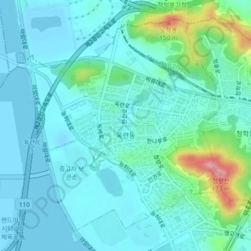
Name: Ongnyeon-dong topographic map, elevation, terrain.
Location: Ongnyeon-dong, Yeonsu-gu, Incheon, South Korea (37.41290 126.63466 37.43568 126.66137)
Average elevation: 89 ft
Minimum elevation: -10 ft
Maximum elevation: 512 ft
Thank you for supporting this site ❤️
Make a donation
Make a donation
Gear up for your next adventure:
As an Amazon Associate, this site earns from qualifying purchases at no extra cost to you.