Geolocate

Crossroads topographic map

Click on the map to display elevation.

About this map

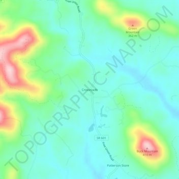
Name: Crossroads topographic map, elevation, terrain.

Location: Crossroads, Albemarle County, Virginia, 22940, United States (38.18652 -78.60002 38.22652 -78.56002)

Average elevation: 738 ft

Minimum elevation: 518 ft

Maximum elevation: 1,348 ft

Albemarle County trails, hiking, mountain biking, running and outdoor activities

Gear up for your next adventure:

🔭Telescopic Hiking Pole - Adjustable pole for hiking stability
😴Insulated Sleeping Pads - Compact and warm pads for high-elevation camping
📻Weather Alert Radios - Stay informed of storm risks while off-the-grid
💧Water Purification System - Clean water on the trail with reliable purifiers
🧭Pro Hiking Compasses - High-accuracy liquid-filled compasses for topographic orientation

As an Amazon Associate, this site earns from qualifying purchases at no extra cost to you.