Geolocate

Anhalt topographic map

Click on the map to display elevation.

About this map

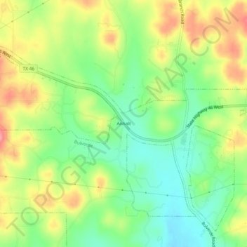
Name: Anhalt topographic map, elevation, terrain.

Location: Anhalt, Bulverde, Comal County, Texas, United States (29.77411 -98.49557 29.81411 -98.45557)

Average elevation: 1,302 ft

Minimum elevation: 1,158 ft

Maximum elevation: 1,486 ft

Comal County trails, hiking, mountain biking, running and outdoor activities

Gear up for your next adventure:

🪓Survival Multi‑Tool - Versatile tool for camp and trail tasks
🧯Portable Fire Pit - Compact fire pit for camping spots
🥾Men's Hiking Boots - Durable, waterproof footwear for rugged terrain and steep inclines
💧Water Purification System - Clean water on the trail with reliable purifiers
🥇GPS Hiking Watch - Multi‑sport GPS watch with navigation and trail tracking

As an Amazon Associate, this site earns from qualifying purchases at no extra cost to you.