
Horton topographic map
Click on the map to display elevation.
About this map
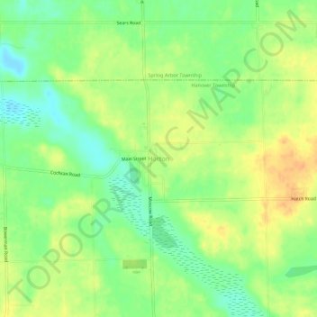
Name: Horton topographic map, elevation, terrain.
Average elevation: 1,043 ft
Minimum elevation: 981 ft
Maximum elevation: 1,102 ft
Jackson County trails, hiking, mountain biking, running and outdoor activities
Other topographic maps
Click on a map to view its topography, its elevation and its terrain.
Waterloo State Recreation Area
United States > Michigan > Jackson County > Chelsea
Average elevation: 951 ft