Geolocate

Alzada topographic map

Click on the map to display elevation.

About this map

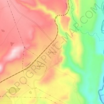
Name: Alzada topographic map, elevation, terrain.

Location: Alzada, Cuauhtémoc, Colima, 28509, Mexico (19.23862 -103.54899 19.27862 -103.50899)

Average elevation: 2,067 ft

Minimum elevation: 1,404 ft

Maximum elevation: 2,556 ft

Gear up for your next adventure:

🪑Ultralight Camp Chairs - Portable seating for resting after a long day of mapping
🔥Fast-Boil Camping Stoves - Efficient cooking systems for quick trail meals
🧥Waterproof Jacket for Hiking - Breathable and rugged rain jacket for outdoor excursions
🦶Hiking Gaiters - Keep debris and water out of your boots
📡GPS Antenna Upgrade - Enhance GPS reception in remote terrain

As an Amazon Associate, this site earns from qualifying purchases at no extra cost to you.