
Mal topographic map
Click on the map to display elevation.
Mal
Mal is gelegen op de grens van vochtig- en droog-Haspengouw, op de linkeroever van de Jeker. De hoogte bedraagt 85 tot 112 meter. Ten westen van Mal ligt een uitgestrekt natuurgebied, het Landschapspark van de Oostelijke Jeker, bestaande uit moerassige biotopen. Verder van de Jeker af is de bodem vooral voor de landbouw in gebruik, waarbij vooral granen en suikerbieten worden geteeld.
About this map
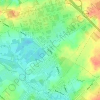
Name: Mal topographic map, elevation, terrain.
Location: Mal, Tongeren, Limburg, België (50.76667 5.50647 50.79270 5.54242)
Average elevation: 318 ft
Minimum elevation: 259 ft
Maximum elevation: 404 ft