
Make a donation
Gear up for your next adventure:
As an Amazon Associate, this site earns from qualifying purchases at no extra cost to you.
Koolkerke topographic map
Click on the map to display elevation.
Make a donation
Gear up for your next adventure:
As an Amazon Associate, this site earns from qualifying purchases at no extra cost to you.
About this map
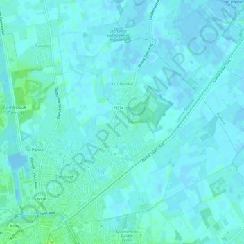
Name: Koolkerke topographic map, elevation, terrain.
Location: Koolkerke, Brugge, West-Vlaanderen, België (51.22139 3.20819 51.25116 3.26612)
Average elevation: 7 ft
Minimum elevation: -13 ft
Maximum elevation: 30 ft
Make a donation
Gear up for your next adventure:
As an Amazon Associate, this site earns from qualifying purchases at no extra cost to you.
Other topographic maps
Click on a map to view its topography, its elevation and its terrain.
Brugge
België > West-Vlaanderen > Brugge > Brugge
De belangrijkste winkelstraten in de binnenstad zijn deze twee die 't Zand met de Grote Markt verbinden; ze lopen parallel. Komende van 't Zand heet de noordelijke over ca. twee derde van de lengte Noordzandstraat, en verder Geldmuntstraat. De zuidelijke heet over ca. één derde van de lengte - tot aan de…
Average elevation: 23 ft