Geolocate

Opfenbach topographic map

Click on the map to display elevation.

About this map

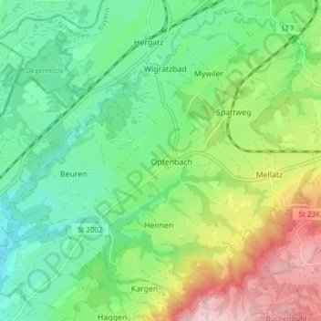
Name: Opfenbach topographic map, elevation, terrain.

Location: Opfenbach, Landkreis Lindau, Bavaria, 88145, Germany (47.60398 9.79581 47.65247 9.87197)

Average elevation: 1,959 ft

Minimum elevation: 1,588 ft

Maximum elevation: 2,690 ft

Other topographic maps

Click on a map to view its topography, its elevation and its terrain.

Staudach

Germany > Bavaria > Landkreis Lindau

Average elevation: 2,005 ft

Buflingsried

Germany > Bavaria > Landkreis Lindau > Scheidegg

Average elevation: 2,490 ft

Holzleute

Germany > Bavaria > Landkreis Lindau > Stiefenhofen

Average elevation: 2,651 ft

Hagers

Germany > Bavaria > Landkreis Lindau > Hergensweiler

Average elevation: 1,706 ft

Oberreutin

Germany > Bavaria > Landkreis Lindau > Lindau (Bodensee)

Average elevation: 1,421 ft

Gear up for your next adventure:

🚗GPS Dash Cams - Record your scenic drives through mountain passes and canyons
📦Gear Storage Bags - Organize and protect outdoor equipment
👟Trail Running Shoes - Lightweight shoes for trail runners
Camping Coffee Makers - Enjoy premium coffee at the summit or campsite
🏫Relief Map Kits - Hands-on tools for teaching landforms and elevation

As an Amazon Associate, this site earns from qualifying purchases at no extra cost to you.