
Thank you for supporting this site ❤️
Make a donation
Make a donation
Gear up for your next adventure:
As an Amazon Associate, this site earns from qualifying purchases at no extra cost to you.
Austin topographic map
Click on the map to display elevation.
Thank you for supporting this site ❤️
Make a donation
Make a donation
Gear up for your next adventure:
As an Amazon Associate, this site earns from qualifying purchases at no extra cost to you.
About this map
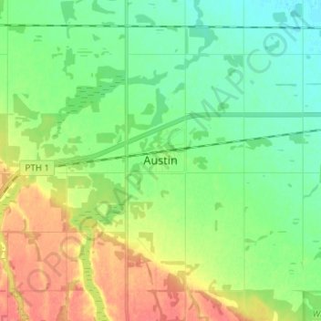
Name: Austin topographic map, elevation, terrain.
Location: Austin, Municipality of North Norfolk, Manitoba, Canada (49.90871 -98.97650 49.98871 -98.89650)
Average elevation: 1,030 ft
Minimum elevation: 968 ft
Maximum elevation: 1,135 ft
Thank you for supporting this site ❤️
Make a donation
Make a donation
Gear up for your next adventure:
As an Amazon Associate, this site earns from qualifying purchases at no extra cost to you.