
Summit topographic map
Click on the map to display elevation.
Summit
Summit was laid out in 1892, and was so named on account of the town site's lofty elevation.
About this map
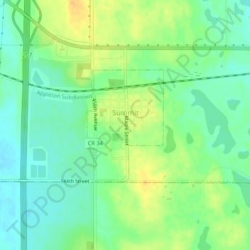
Name: Summit topographic map, elevation, terrain.
Average elevation: 1,998 ft
Minimum elevation: 1,955 ft
Maximum elevation: 2,051 ft
Roberts County trails, hiking, mountain biking, running and outdoor activities