Geolocate

Zillmere topographic map

Click on the map to display elevation.

About this map

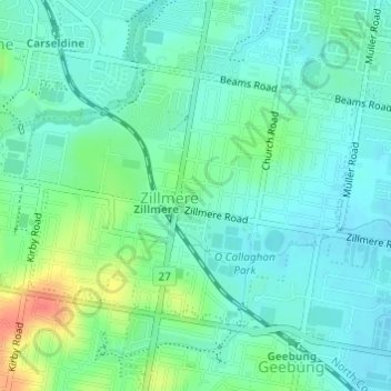
Name: Zillmere topographic map, elevation, terrain.

Location: Zillmere, Brisbane City, Queensland, 4034, Australia (-27.36765 153.02649 -27.34954 153.05250)

Average elevation: 66 ft

Minimum elevation: 16 ft

Maximum elevation: 190 ft

Other topographic maps

Click on a map to view its topography, its elevation and its terrain.

Willmington Park

Australia > Queensland > Brisbane City

Average elevation: 121 ft

Mount Gravatt

Australia > Queensland > Brisbane City

Average elevation: 230 ft

Ithaca

Australia > Queensland > Brisbane City > Ithaca

Average elevation: 102 ft

Gear up for your next adventure:

🎒Day Hiking Backpack - Lightweight backpack perfect for day trips and outdoor adventures
💧Water Purification System - Clean water on the trail with reliable purifiers
👓Polarized Sunglasses - Outdoor sunglasses for glare reduction
❄️Traction Cleats - Prevent slips on icy trails during winter hikes
🌎3D Topographic Globes - Raised relief globes for a tactile understanding of geography

As an Amazon Associate, this site earns from qualifying purchases at no extra cost to you.