
干海子 topographic map
Interactive map
Click on the map to display elevation.
About this map
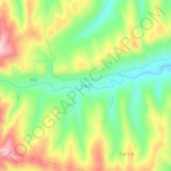
Name: 干海子 topographic map, elevation, terrain.
Location: 干海子, 彭阳县, 固原市, 宁夏回族自治区, 中国 (35.88768 106.42142 35.92768 106.46142)
Average elevation: 5,607 ft
Minimum elevation: 5,157 ft
Maximum elevation: 6,181 ft
Other topographic maps
Click on a map to view its topography, its elevation and its terrain.