
川口 topographic map
Interactive map
Click on the map to display elevation.
About this map
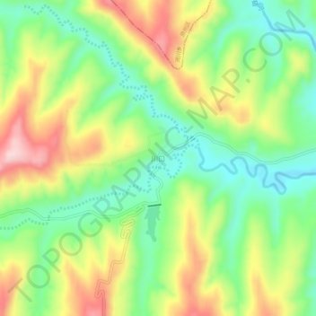
Name: 川口 topographic map, elevation, terrain.
Location: 川口, 彭阳县, 固原市, 宁夏回族自治区, 中国 (35.90130 106.46988 35.94130 106.50988)
Average elevation: 5,299 ft
Minimum elevation: 4,954 ft
Maximum elevation: 5,781 ft
Other topographic maps
Click on a map to view its topography, its elevation and its terrain.