Geolocate

Bachut topographic map

Click on the map to display elevation.

About this map

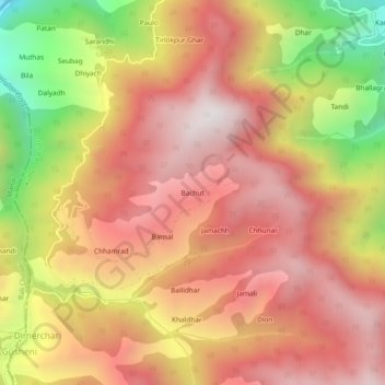
Name: Bachut topographic map, elevation, terrain.

Location: Bachut, Banjar, Kullu, Himachal Pradesh, India (31.55902 77.30366 31.59902 77.34366)

Average elevation: 8,268 ft

Minimum elevation: 5,686 ft

Maximum elevation: 9,892 ft

Gear up for your next adventure:

❄️Traction Cleats - Prevent slips on icy trails during winter hikes
🌡️Portable Weather Meter - Track weather conditions on the trail
🌧️Backpack Rain Cover - Keep gear dry in wet weather
🔪Outdoor Multitools - Essential survival tools for gear repair and field use
🧯Emergency Survival Kit - All‑in‑one survival essentials for the backcountry

As an Amazon Associate, this site earns from qualifying purchases at no extra cost to you.