
布伦托海 topographic map
Interactive map
Click on the map to display elevation.
About this map
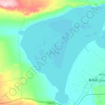
Name: 布伦托海 topographic map, elevation, terrain.
Location: 布伦托海, 福海县, 阿勒泰地区, 新疆维吾尔自治区, 836400, 中国 (47.01181 87.01250 47.42274 87.58300)
Average elevation: 1,772 ft
Minimum elevation: 1,568 ft
Maximum elevation: 3,366 ft
Other topographic maps
Click on a map to view its topography, its elevation and its terrain.