Geolocate

Baudette topographic map

Click on the map to display elevation.

About this map

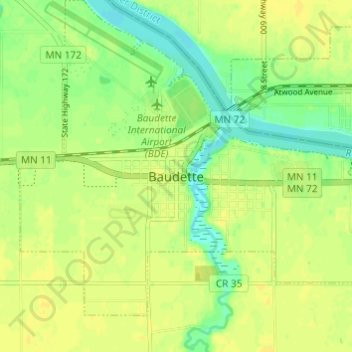
Name: Baudette topographic map, elevation, terrain.

Location: Baudette, Lake of the Woods County, Minnesota, United States (48.69244 -94.62017 48.73244 -94.58017)

Average elevation: 1,086 ft

Minimum elevation: 1,047 ft

Maximum elevation: 1,106 ft

Lake of the Woods County trails, hiking, mountain biking, running and outdoor activities

Gear up for your next adventure:

🪶Paracord Bracelet - Survival bracelet with built‑in tools
☀️Outdoor Sunscreen - High protection sunscreen for outdoor activities
🔋Solar Power Banks - Keep your GPS and phone charged in remote wilderness areas
🌧️Backpack Rain Cover - Keep gear dry in wet weather
🧤Tactile Hiking Gloves - Keep hands warm while operating GPS and smartphone screens

As an Amazon Associate, this site earns from qualifying purchases at no extra cost to you.