
Preble topographic map
Click on the map to display elevation.
About this map
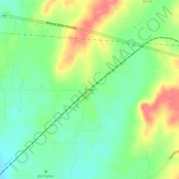
Name: Preble topographic map, elevation, terrain.
Location: Preble, Parker County, Texas, United States (32.76096 -97.98143 32.80096 -97.94143)
Average elevation: 988 ft
Minimum elevation: 886 ft
Maximum elevation: 1,142 ft
Parker County trails, hiking, mountain biking, running and outdoor activities