Geolocate

Uchucarco topographic map

Click on the map to display elevation.

About this map

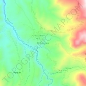
Name: Uchucarco topographic map, elevation, terrain.

Location: Uchucarco, Chamaca, Provincia de Chumbivilcas, Cusco, Perú (-14.44302 -71.84552 -14.40302 -71.80552)

Average elevation: 13,035 ft

Minimum elevation: 12,398 ft

Maximum elevation: 14,144 ft

Gear up for your next adventure:

🔥Camping Stove - Portable stove for camping and backcountry cooking
🛡️Bear Spray Outdoor - Protection in bear country hikes
🥾Hiking Shoes - Durable and comfortable shoes for trail hiking
🪶LED Camping Lantern - Bright lantern for camp lighting
🛠️Backpacking Tool Kit - Essential toolkit for outdoor repairs

As an Amazon Associate, this site earns from qualifying purchases at no extra cost to you.