
Thank you for supporting this site ❤️
Make a donation
Make a donation
Gear up for your next adventure:
As an Amazon Associate, this site earns from qualifying purchases at no extra cost to you.
Usi topographic map
Click on the map to display elevation.
Thank you for supporting this site ❤️
Make a donation
Make a donation
Gear up for your next adventure:
As an Amazon Associate, this site earns from qualifying purchases at no extra cost to you.
About this map
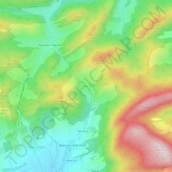
Name: Usi topographic map, elevation, terrain.
Location: Usi, Juslapeña, Comarca de Pamplona, Navarra, 31193, España (42.89267 -1.69986 42.93267 -1.65986)
Average elevation: 2,192 ft
Minimum elevation: 1,614 ft
Maximum elevation: 3,038 ft
Thank you for supporting this site ❤️
Make a donation
Make a donation
Gear up for your next adventure:
As an Amazon Associate, this site earns from qualifying purchases at no extra cost to you.