
Vellor Ela Thodu topographic map
Interactive map
Click on the map to display elevation.
About this map
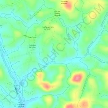
Name: Vellor Ela Thodu topographic map, elevation, terrain.
Location: Vellor Ela Thodu, Punalur, Kollam, Kerala, 691548, India (8.93596 76.86272 8.94040 76.86326)
Average elevation: 253 ft
Minimum elevation: 144 ft
Maximum elevation: 449 ft
Other topographic maps
Click on a map to view its topography, its elevation and its terrain.
Achankovil
Achankovil, Punalur, Kollam District, Kerala, India
Average elevation: 581 ft
Kulathupuzha
Kulathupuzha, Punalur, Kollam District, Kerala, 691310, India
Average elevation: 492 ft
Thenmala Dam
India > Kerala > Punalur > Thenmala
Thenmala Dam, Thenmala, Punalur, Kollam, Kerala, India
Average elevation: 509 ft
Kulathupuzha
Kulathupuzha, Punalur, Kollam, Kerala, 691310, India
Average elevation: 741 ft
Shendurney WLS
India > Kerala > Punalur > Thenmala
Shendurney WLS, Thenmala, Punalur, Kollam, Kerala, India
Average elevation: 1,204 ft