
Mansuret Namul topographic map
Interactive map
Click on the map to display elevation.
About this map
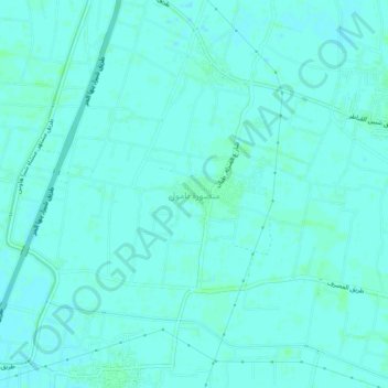
Name: Mansuret Namul topographic map, elevation, terrain.
Location: Mansuret Namul, Al Qalyubiya, 13737, Egypt (30.30717 31.22782 30.34717 31.26782)
Average elevation: 46 ft
Minimum elevation: 39 ft
Maximum elevation: 56 ft