Geolocate

Wheeling topographic map

Click on the map to display elevation.

About this map

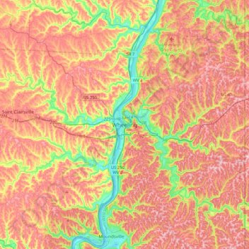
Name: Wheeling topographic map, elevation, terrain.

Location: Wheeling, Ohio County, West Virginia, 26003, United States (39.90396 -80.88091 40.22396 -80.56091)

Average elevation: 1,070 ft

Minimum elevation: 614 ft

Maximum elevation: 1,430 ft

Ohio County trails, hiking, mountain biking, running and outdoor activities

Gear up for your next adventure:

🔌USB Car Charger - Car charger for on‑the‑go power needs
🔦LED Headlamp - Bright and durable LED headlamp for night navigation
🦟Ultrasonic Repellers - Create a bug-free zone at your camp or rest stop
🧥Waterproof Jacket for Hiking - Breathable and rugged rain jacket for outdoor excursions
🧭Outdoor Navigation Book - Learn advanced navigation skills

As an Amazon Associate, this site earns from qualifying purchases at no extra cost to you.