
Make a donation
Gear up for your next adventure:
As an Amazon Associate, this site earns from qualifying purchases at no extra cost to you.
Hassenberg topographic map
Click on the map to display elevation.
Make a donation
Gear up for your next adventure:
As an Amazon Associate, this site earns from qualifying purchases at no extra cost to you.
Hassenberg
Hassenberg liegt 17 Kilometer östlich von Coburg im Obermainischen Hügelland im Tal der Steinach. Der Kern des Dorfes mit dem Schloss liegt auf einem Bergrücken auf etwa 320 Meter Höhe. Der Ort liegt im Tal des Weickenbachs und ist an den dessen Flanken unregelmäßig am und um den Schlossberg angelegt.
Make a donation
Gear up for your next adventure:
As an Amazon Associate, this site earns from qualifying purchases at no extra cost to you.
About this map
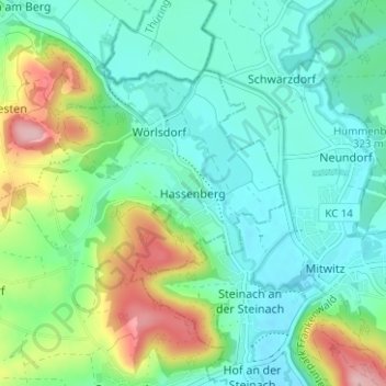
Name: Hassenberg topographic map, elevation, terrain.
Average elevation: 1,109 ft
Minimum elevation: 958 ft
Maximum elevation: 1,509 ft
Make a donation
Gear up for your next adventure:
As an Amazon Associate, this site earns from qualifying purchases at no extra cost to you.