
Murieta topographic map
Click on the map to display elevation.
About this map
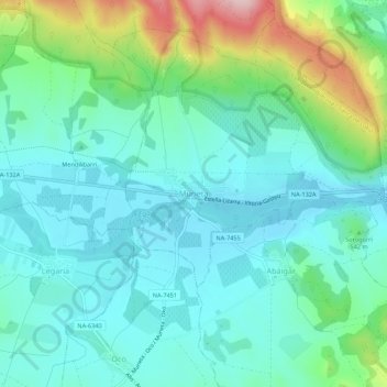
Name: Murieta topographic map, elevation, terrain.
Location: Murieta, Navarre, 31280, Spain (42.63624 -2.17435 42.67624 -2.13435)
Average elevation: 1,699 ft
Minimum elevation: 1,499 ft
Maximum elevation: 2,365 ft