Geolocate

Tapis topographic map

Click on the map to display elevation.

About this map

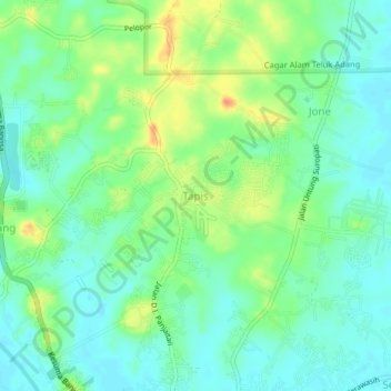
Name: Tapis topographic map, elevation, terrain.

Location: Tapis, East Kalimantan, 76251, Indonesia (-1.89683 116.17598 -1.85683 116.21598)

Average elevation: 52 ft

Minimum elevation: 3 ft

Maximum elevation: 138 ft

Gear up for your next adventure:

🔊Portable Camp Speaker - Music and alerts at camp
🛏️Cold Weather Sleeping Bag - Warm sleeping bag for cold conditions
💧Water Purification System - Clean water on the trail with reliable purifiers
🔌Solar Panel Charger - Charge gear sustainably outdoors
🛡️Insect Repellent - Protection against bugs during outdoor activities

As an Amazon Associate, this site earns from qualifying purchases at no extra cost to you.