
Hüser topographic map
Interactive map
Click on the map to display elevation.
About this map
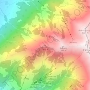
Name: Hüser topographic map, elevation, terrain.
Location: Hüser, Kerns, Obwalden, 6073, Schweiz (46.87301 8.31076 46.87311 8.31086)
Average elevation: 4,816 ft
Minimum elevation: 2,648 ft
Maximum elevation: 6,693 ft
Other topographic maps
Click on a map to view its topography, its elevation and its terrain.
Hochstollen
Hochstollen, Kerns, Obwalden, 6084, Schweiz
Average elevation: 6,562 ft