
Hochstollen topographic map
Interactive map
Click on the map to display elevation.
About this map
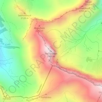
Name: Hochstollen topographic map, elevation, terrain.
Location: Hochstollen, Kerns, Obwalden, 6084, Schweiz (46.77336 8.23853 46.77346 8.23863)
Average elevation: 6,562 ft
Minimum elevation: 5,049 ft
Maximum elevation: 8,068 ft
Other topographic maps
Click on a map to view its topography, its elevation and its terrain.