Geolocate

Halang topographic map

Click on the map to display elevation.

About this map

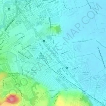
Name: Halang topographic map, elevation, terrain.

Location: Halang, Calamba, Laguna, Calabarzon, 4027, Philippines (14.19108 121.15949 14.19954 121.18350)

Average elevation: 72 ft

Minimum elevation: 3 ft

Maximum elevation: 371 ft

Other topographic maps

Click on a map to view its topography, its elevation and its terrain.

Bucal

Philippines > Laguna > Calamba

Average elevation: 72 ft

88 Spa & Resort

Philippines > Laguna > Calamba

Average elevation: 272 ft

ASN Ph2 Park

Philippines > Laguna > Calamba

Average elevation: 436 ft

Bucal Reservoir

Philippines > Laguna > Calamba

Average elevation: 138 ft

Calamba Town Plaza

Philippines > Laguna > Calamba

Average elevation: 36 ft

Gear up for your next adventure:

👖Convertible Hiking Pants - Versatile zip-off pants for changing altitudes and temperatures
🎒Trekking Poles - Sturdy poles for balance and stability on rough terrain
🥘Titanium Cookware - Durable, featherlight pots and pans for backpacking
🔌Solar Panel Charger - Charge gear sustainably outdoors
🪶Camp Gear Gift Set - Perfect gift bundle for outdoor fans

As an Amazon Associate, this site earns from qualifying purchases at no extra cost to you.