
Pusa topographic map
Click on the map to display elevation.
About this map
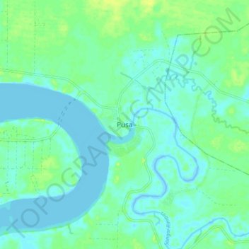
Name: Pusa topographic map, elevation, terrain.
Location: Pusa, Sarawak, Malaysia (1.57775 111.25282 1.65775 111.33282)
Average elevation: 16 ft
Minimum elevation: -7 ft
Maximum elevation: 49 ft