Geolocate

Rockcliffe topographic map

Click on the map to display elevation.

About this map

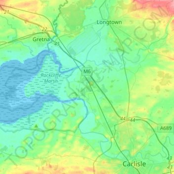
Name: Rockcliffe topographic map, elevation, terrain.

Location: Rockcliffe, Carlisle, Cumbria, North West England, England, United Kingdom (54.92772 -3.18281 54.98593 -2.93883)

Average elevation: 66 ft

Minimum elevation: -7 ft

Maximum elevation: 262 ft

Other topographic maps

Click on a map to view its topography, its elevation and its terrain.

Gear up for your next adventure:

🧭Pro Hiking Compasses - High-accuracy liquid-filled compasses for topographic orientation
Backpacking Tent - Lightweight and durable tent for multi‑day hikes
🔥Fast-Boil Camping Stoves - Efficient cooking systems for quick trail meals
🗺️Topographic Maps - Detailed topo maps for hiking, exploring and outdoor navigation
🚗GPS Dash Cams - Record your scenic drives through mountain passes and canyons

As an Amazon Associate, this site earns from qualifying purchases at no extra cost to you.