
Ermine topographic map
Click on the map to display elevation.
About this map
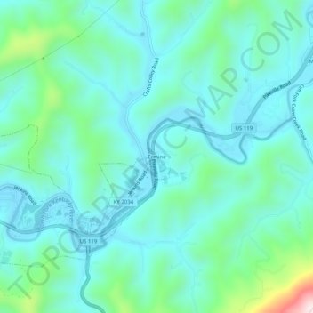
Name: Ermine topographic map, elevation, terrain.
Location: Ermine, Letcher County, Kentucky, 41837, United States (37.10121 -82.81210 37.14121 -82.77210)
Average elevation: 1,467 ft
Minimum elevation: 1,145 ft
Maximum elevation: 2,894 ft
Letcher County trails, hiking, mountain biking, running and outdoor activities